Academic recreation landscape
Sinekli Gol Recreation
FOREST · WATER · RECREATION LANDSCAPE
An academic recreation landscape proposal organised around Sinekli Lake, combining camping, social clearings, sports courts and quiet water-edge experiences.
- Location
- Küçük Sinekli · Silivri · İstanbul
- Bungalows
- 20
- Camp clearings
- 2 × 2,000 m²
- Tents
- 14
- Estimated stay capacity
- 102+ users
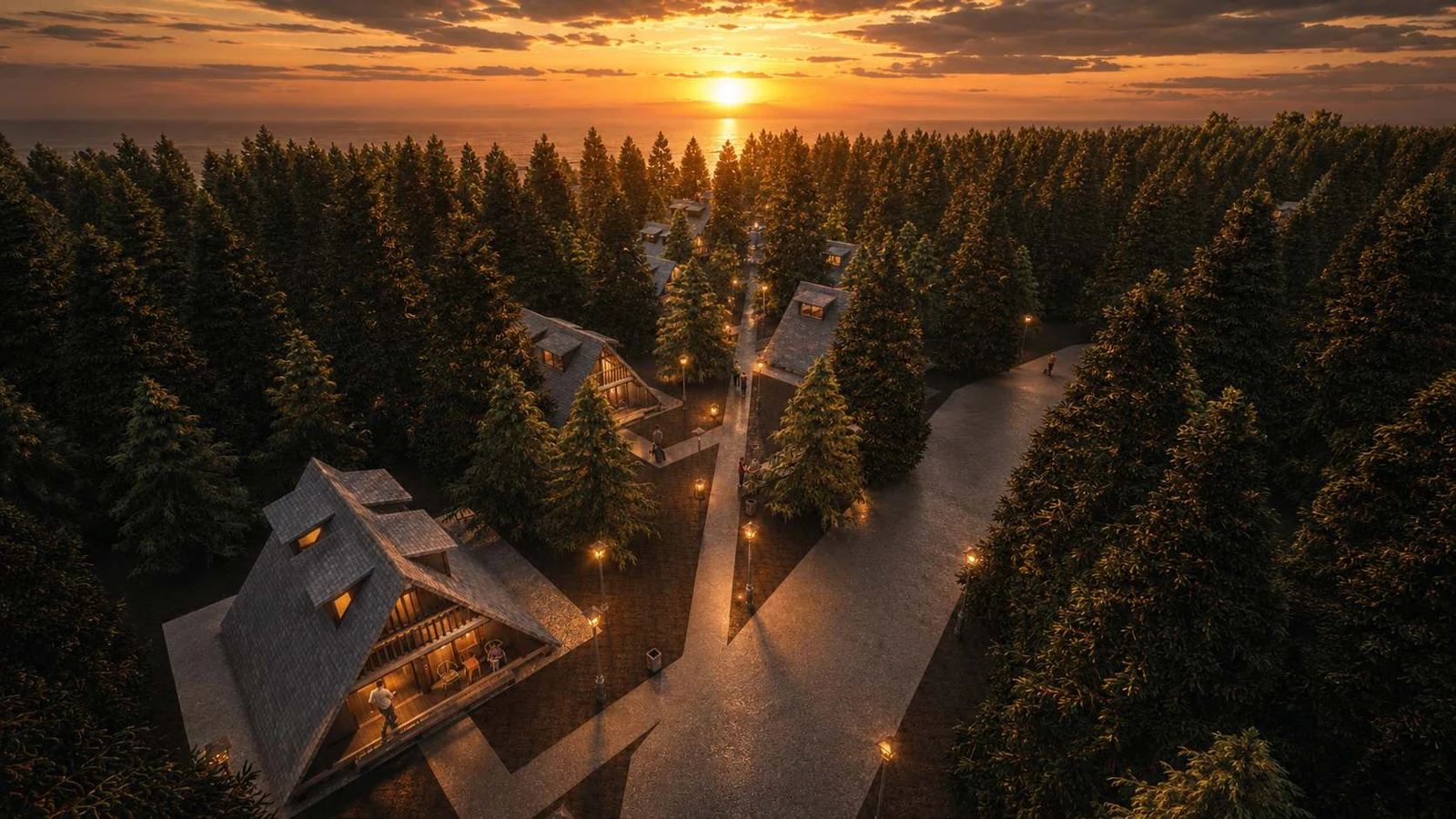
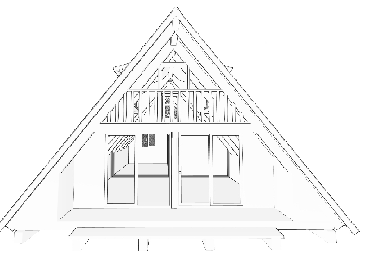
Forest lodging
A path read through light.
The aerial view reveals a pedestrian spine linking the lodging units without breaking the forest canopy. Low-level lighting clarifies the main route and shared thresholds while preserving continuous areas of darkness.
Project premise
A lake held by forest.
The proposal is organised as a sequence of clearings around Sinekli Lake. Arrival, accommodation, camping, family recreation and water access remain distinct, but they are connected by one continuous woodland route.

Forest frame
Dense evergreen planting defines the project boundary and holds each programme clearing.
Distributed uses
Active and quiet functions are separated spatially, then reconnected by the circulation loop.
Water orientation
The lake remains the visual reference point for routes, decks, picnic areas and social spaces.
Site reading
Road, basin, forest.
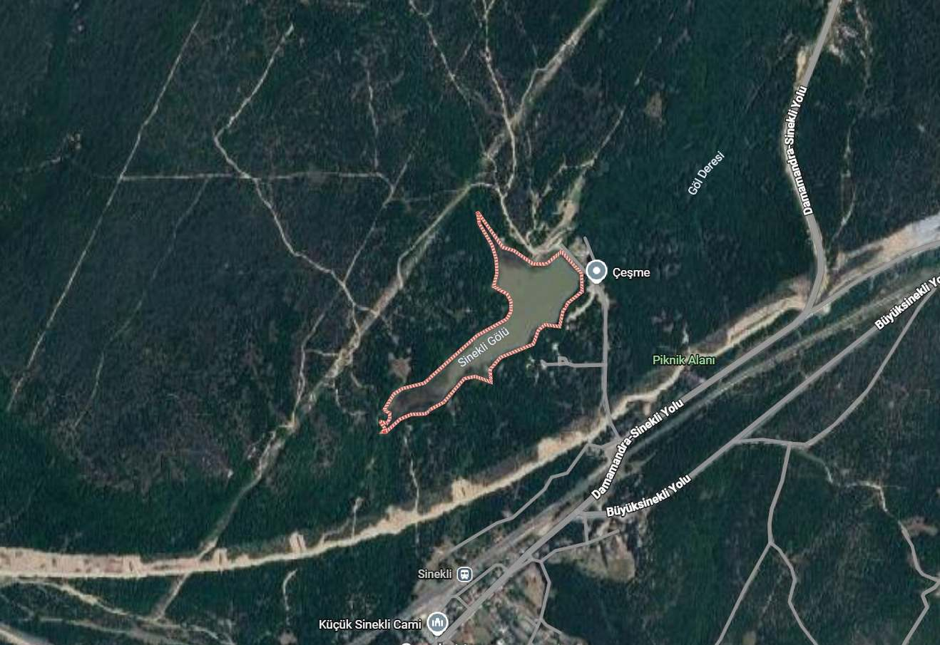
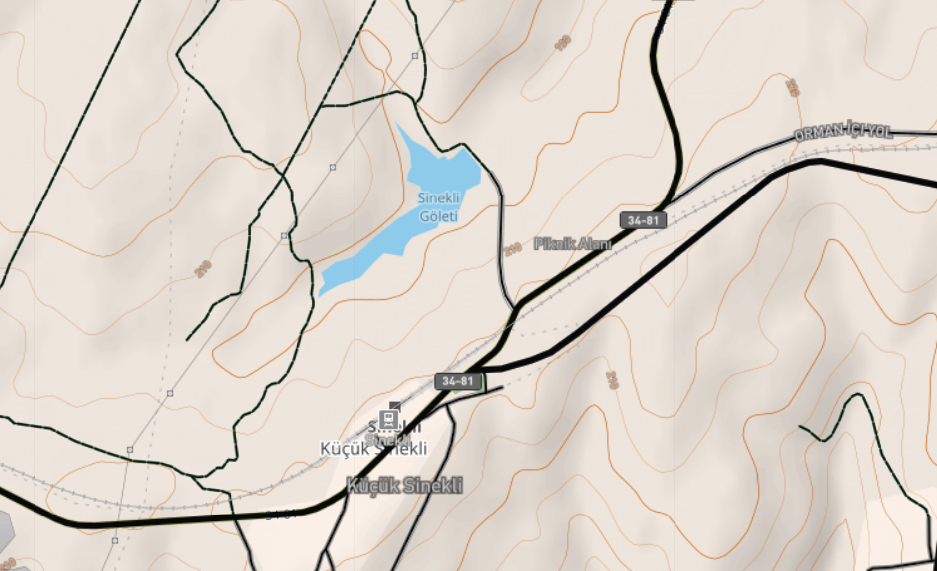
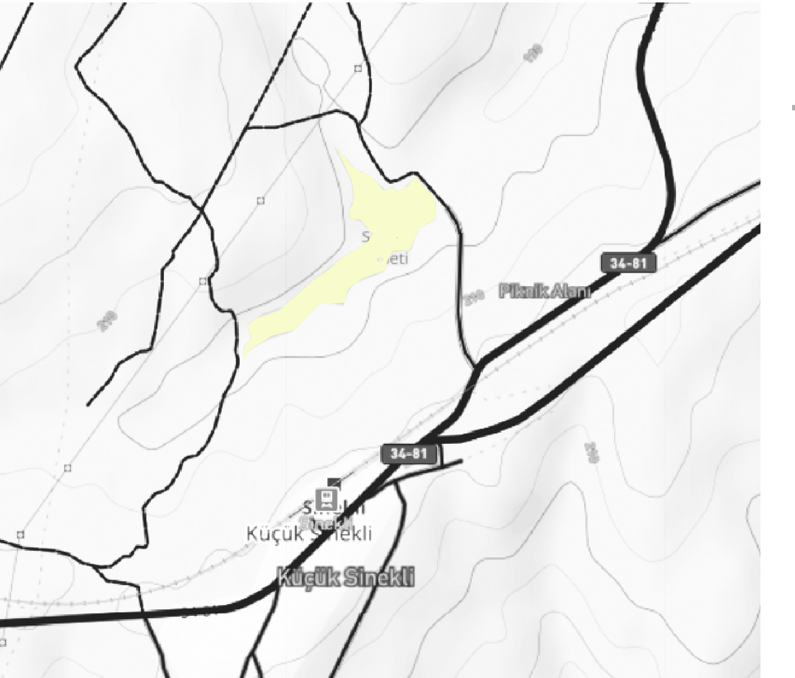
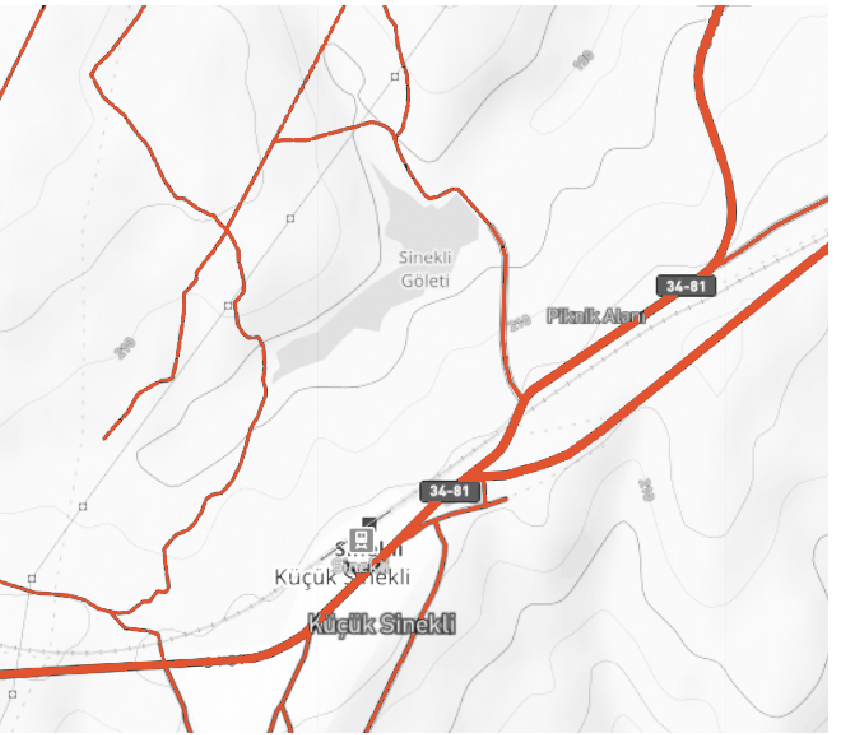
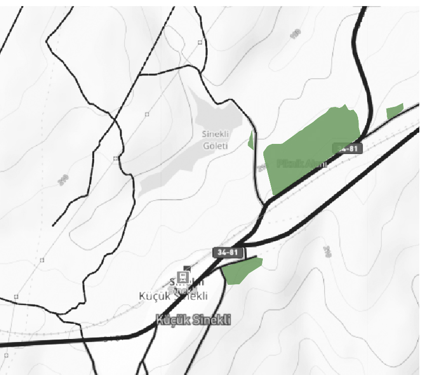
Public mapping and the supplied drawings place the lake north of Küçük Sinekli, inside a continuous forest landscape linked to the Danamandıra-Sinekli and Büyük Sinekli road network. The maps are used as context only, not as survey data.
 Open full-resolution diagram in a new tab
 Open full-resolution diagram in a new tab
 Open full-resolution diagram in a new tab
 Open full-resolution diagram in a new tab
 Open full-resolution diagram in a new tab
Access
A short local spur connects the lake to the main road system; vehicle arrival is held outside the quietest water-edge spaces.
Forest
Satellite imagery shows a continuous canopy broken by narrow tracks and existing clearings — the basic spatial material of the proposal.
Terrain
The supplied topographic map places the lake within an undulating basin around the visible 200 m contour, rather than on a flat open field.
Design strategy
Six zones, one loop.
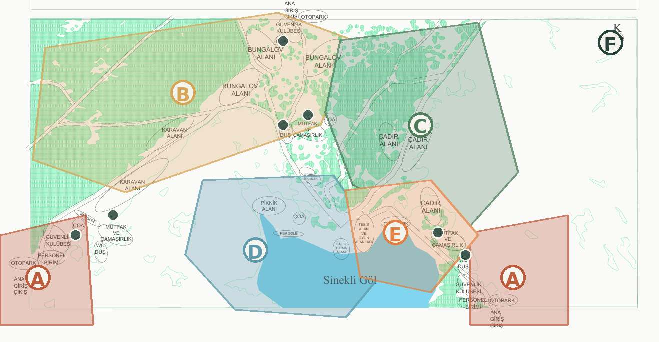
The supplied plan is reorganised as six readable systems. The overlay does not change geometry; it clarifies how arrival, lodging, camping, day-use, activity and support functions relate to the lake.
 Open full-resolution diagram in a new tab
 Open full-resolution diagram in a new tab
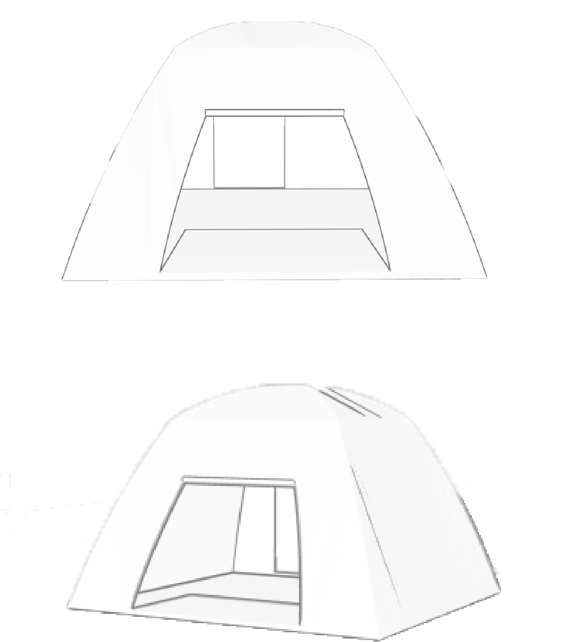 Open full-resolution diagram in a new tab
- A
Arrival + service thresholds
Two gate points connect parking, security and staff/service access.
- B
Caravan + bungalow belt
Caravan spaces follow the western approach; 20 bungalows mix paired, tripled and standalone units.
- C
Camp groves
Two 2,000 m² clearings hold 7 tents each; maximum 3 users per tent.
- D
Lakeside day-use
Picnic, pergola, seating and fishing-deck uses face the lake.
- E
Activity clearing
Play and sports functions form the active public core.
- F
Distributed support nodes
Kitchen, laundry, WC/shower, health and security units sit along the loop.
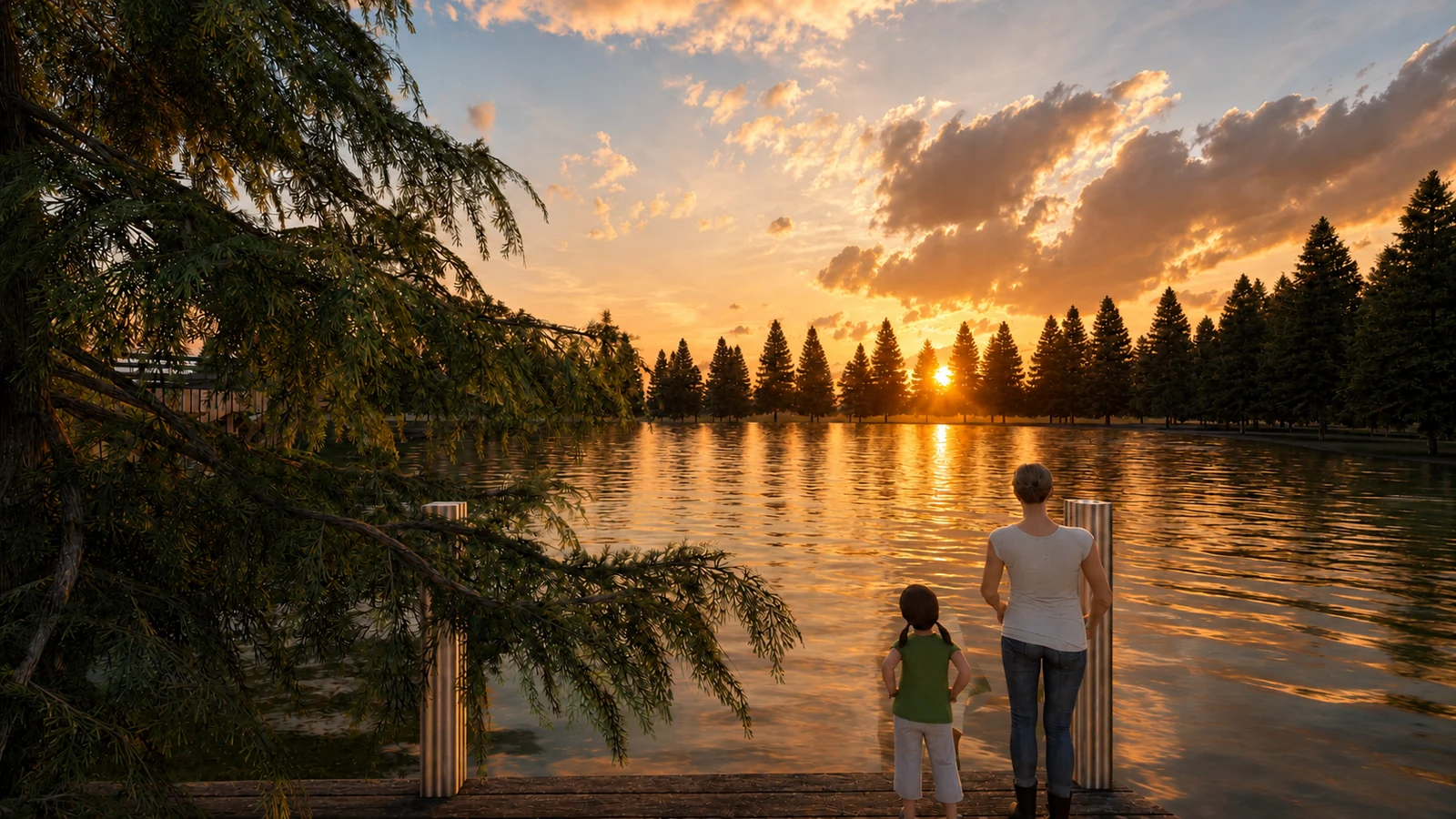
Water edge
Water as arrival and pause.
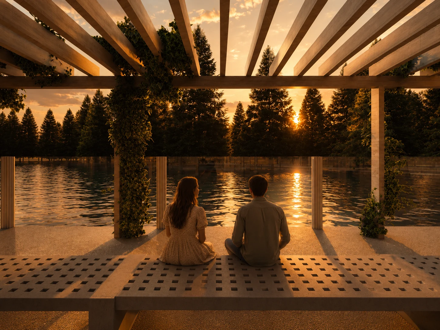
The waterfront is not treated as one continuous hard edge. Active arrival happens through a canoe approach, while quieter seating is gathered beneath the pergola as a slower, sheltered viewing room.

Shared ground
Family ground under canopy.
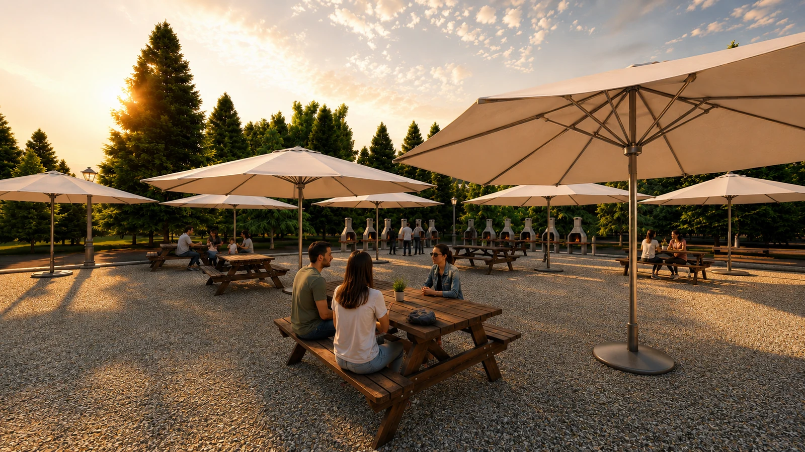
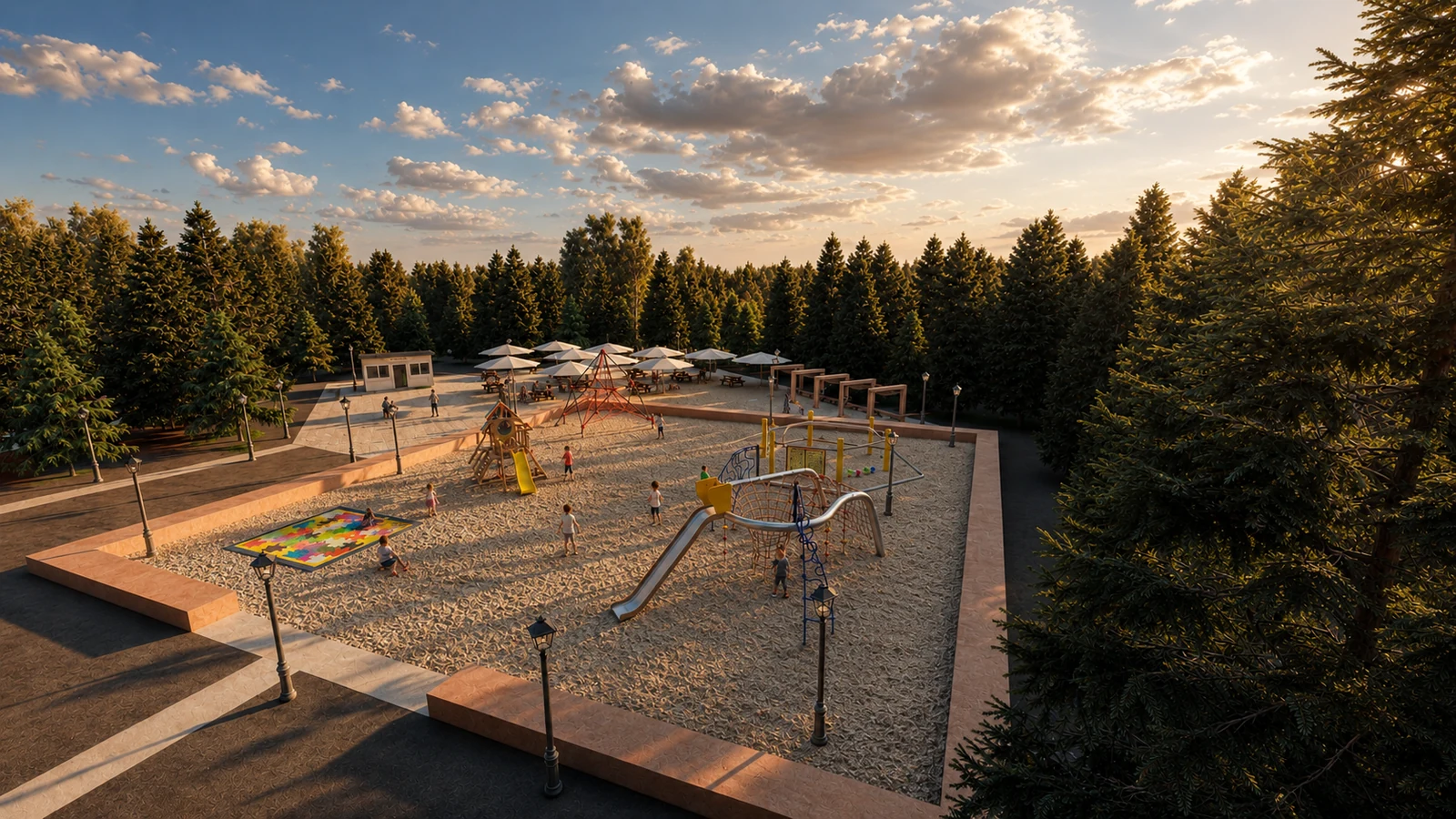
Play and picnic functions are set into clearings within the woodland rather than pressed directly onto the waterfront. This keeps family activity visible, shaded and comfortably connected to the main loop.
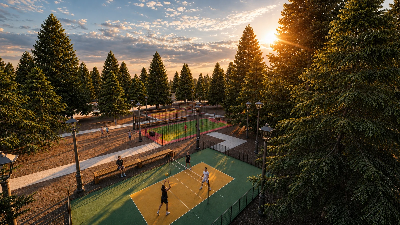
Movement + activity
Activity contained by trees.
The sports courts form a concentrated active node within the woodland. The surrounding tree mass screens this use from quieter zones and keeps recreation embedded within the forest frame.
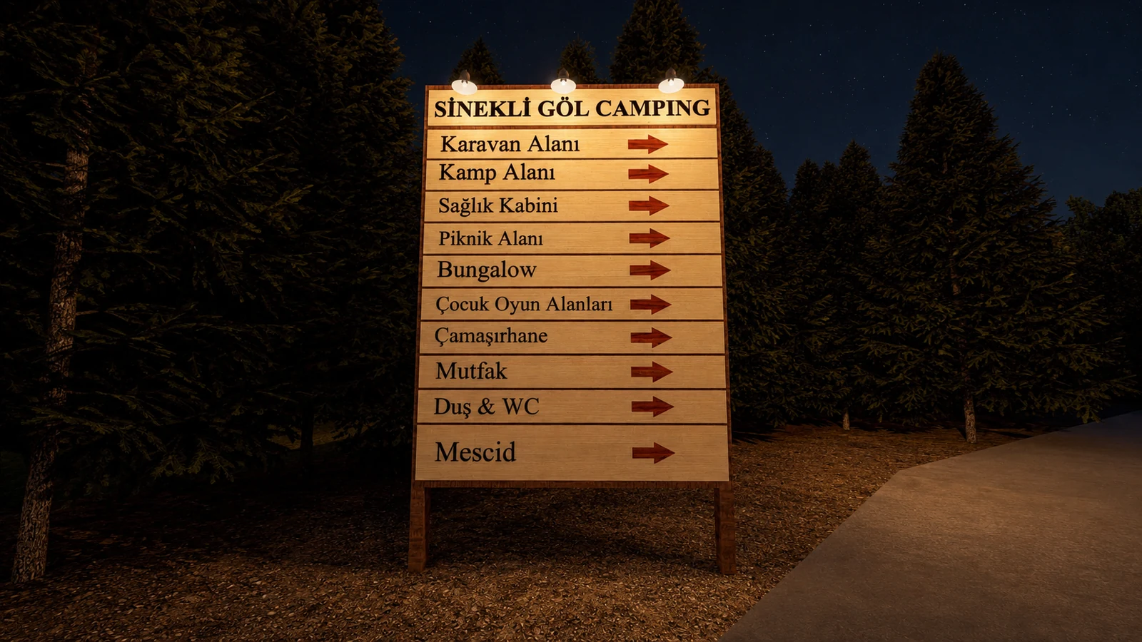
Visitor sequence
Orientation across distributed uses.
Because the programme is dispersed, the project depends on a clear hierarchy of paths, destination names and water-facing pauses. Wayfinding turns the site programme into a readable visitor sequence.
Forest route
A clear path through the canopy.
The movement corridor is one of the project’s clearest spatial ideas. A direct path cuts through the conifer mass, producing long sightlines and a consistent shaded experience for walking and running.

Zümra Timur · Landscape Architect
Night use
A quiet night around the fire.
Tent clusters gather loosely around shared fire circles and low path lights. Social clearings remain distinct, while the forest silhouette and dark sky continue to frame the scene.
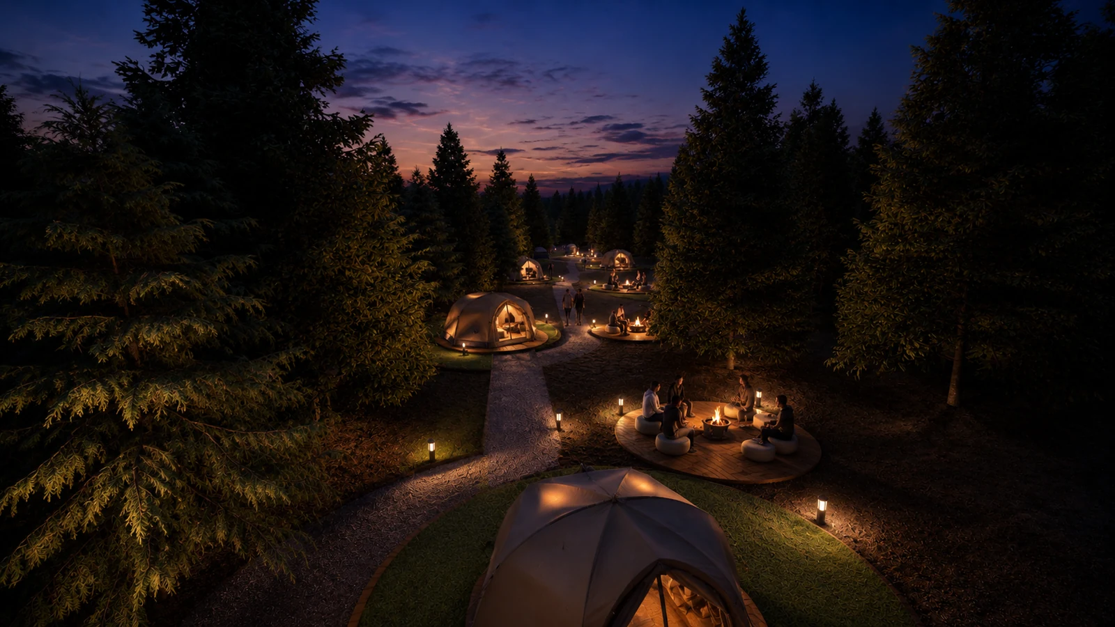
Camping after dark
Warm lights inside a dark forest frame.
The night scene closes the portfolio by showing how the camping programme can remain social and atmospheric without overpowering the surrounding woodland. Small pools of light, fire circles and low path lights create intimacy rather than spectacle.
Project archive
Portfolio downloads.
Images are concept visualisations. Portfolio diagrams are editorial interpretations derived from supplied SKP, DWG, PDF and image references; they are not construction drawings. Public mapping is used as context only, not as survey data.
- SKP · DWG · PDF · PNG/JPG
- Editorial case-study presentation